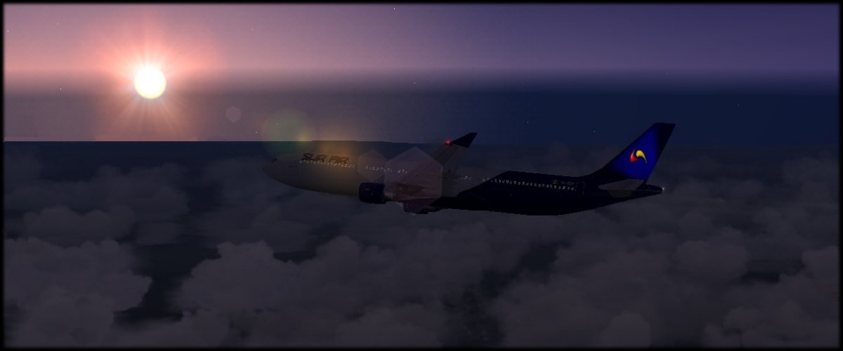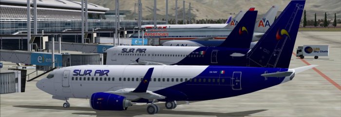
Vuelo SUR001

  • Enviado por: Dr Eduardo Vogel Contreras
  • ICAO Aeropuerto Origen: Los Cabos International Airport (MMSD)
  • ICAO Aeropuerto Destino: (MMCJ)
  • Aeronave: L10-A (XA-SUR)
  • Tiempo de vuelo: 03.45
  • Fecha de envio: 04/27/2015
  • Control de Rango: El rango minimo para tripular L10-A es Segundo Oficial C3 y el rango actual del piloto es Comandante Senior C24
  • Route: SJD V1 LAP V8 LMM V8 CHX V8 CUU V47 CJS
  • Status: Accepted
Detalles del vuelo
Ingresos Brutos:
(3 load / $ 500.00 per unit
$ 1, 500.00
Costo de Combustible:
(174 fuel used @ 0.8 / unit)
$ 139.20

Informacion Adicional:

Bitacora

[2015/04/27 19:25:00]
Flight IATA:SUR001
Pilot Number:SUR2288
Company ICAO:SUR
Aircraft Type:C-177
PAX:3
Aircraft Registration:XA-SUR
Departing Airport: MMSD
Destination Airport: MMCJ
Alternate Airport:KELP
Online: No
Route:SJD V1 LAP V8 LMM V8 CHX V8 CUU V47 CJS
Flight Level:FL12000
19:25 Zero fuel Weight: 2149 Lbs, Fuel Weight: 359 Lbs
19:26 Parking Brakes off
19:26 Com1 Freq=118.90
19:33 VR= 079 Knots
19:33 V2= 080 Knots
19:33 Take-off
19:33 Take off Weight: 2506 Lbs
19:33 Wind: 000? @ 000 Knots Heading: 351?
19:33 POS N23? 08? 44?? W109? 43? 15??
19:33 N11 100 N12 00
19:33 Gear Up: 080 Knots
19:33 Flaps:1 at 80 Knots
19:33 Flaps:0 at 82 Knots
19:46 Com1 Freq=124.40
19:48 Wind:270?@022 Knots Heading: 317? Ground Speed: 093 Knots Altitude 11099 ft
20:03 Wind:270?@022 Knots Heading: 318? Ground Speed: 101 Knots Altitude 12998 ft
20:18 Wind:270?@022 Knots Heading: 026? Ground Speed: 128 Knots Altitude 12998 ft
20:33 Wind:270?@022 Knots Heading: 027? Ground Speed: 128 Knots Altitude 12998 ft
20:48 Wind:270?@022 Knots Heading: 027? Ground Speed: 128 Knots Altitude 12998 ft
21:03 Wind:270?@022 Knots Heading: 027? Ground Speed: 128 Knots Altitude 12998 ft
21:18 Wind:270?@022 Knots Heading: 023? Ground Speed: 127 Knots Altitude 12998 ft
21:33 Wind:270?@022 Knots Heading: 023? Ground Speed: 127 Knots Altitude 12998 ft
21:48 Wind:270?@022 Knots Heading: 037? Ground Speed: 132 Knots Altitude 12998 ft
22:03 Wind:270?@022 Knots Heading: 037? Ground Speed: 132 Knots Altitude 12998 ft
22:18 Wind:270?@022 Knots Heading: 037? Ground Speed: 132 Knots Altitude 12998 ft
22:21 Com1 Freq=127.40
22:33 Wind:270?@022 Knots Heading: 043? Ground Speed: 134 Knots Altitude 12998 ft
22:43 Com1 Freq=127.90
22:43 Com1 Freq=127.40
22:48 Wind:000?@000 Knots Heading: 066? Ground Speed: 140 Knots Altitude 12214 ft
22:57 Com1 Freq=121.00
23:01 Com1 Freq=118.40
23:03 Wind:326?@014 Knots Heading: 356? Ground Speed: 123 Knots Altitude 6620 ft
23:04 Gear Down: 105 Knots
23:05 Flaps:1 at 93 Knots
23:06 Flaps:2 at 69 Knots
23:07 TouchDown:Rate -407 ft/min Speed: 57 Knots
23:07 Flaps:1 at 44 Knots
23:07 Flaps:0 at 42 Knots
23:07 Land
23:07 Wind:180?@000 Knots
23:07 Heading: 009?
23:07 Flight Duration: 03:34
23:07 Landing Weight: 2333 Lbs
23:07 POS N28? 41? 46?? W105? 57? 57??
23:11 Parking brakes on
23:11 Block to Block Duration: 03:45
23:11 Final Fuel: 185 Lbls
23:11 Spent Fuel: 174 Lbls
23:11 Flight Length: 438 NM
23:11 TOD Land Length: 438 NM


Mapa de Rutas

SIMULADORES

SUR AIR System soporta:

Microsoft Flight Simulator 9
Microsoft Flight Simulator X
Flight Simulator Steam Edition
Lockheed Martin Prepar3D
X-Plane

SISTEMAS ACARS

Nuestra base de datos esta preparada para recibir PIREPs de los siguientes programas:

FSPassengers, FSAcars, FSCaptain, FS Flight Keeper, Xacars, Kacars, APVAcars y CAVacars.

SISTEMA PROPIO

Si no cuentas con alguno de los programas Acars mostrados en la columna anterior, nuestra Aerolinea pone a tu disposicion el

REPORTE DE VUELO SUR AIR

El contenido integro de este portal es para uso exclusivo de la simulacion de vuelo y no tiene relacion con operaciones aeronauticas reales. En nuestro portal principal podras obtener los archivos de descarga de nuestra flota y otras utilerias SUR AIR SYSTEM.